Destinations and areas › Japan
Joshinetsu
Japan · 8 routes · 0 huts
Routes
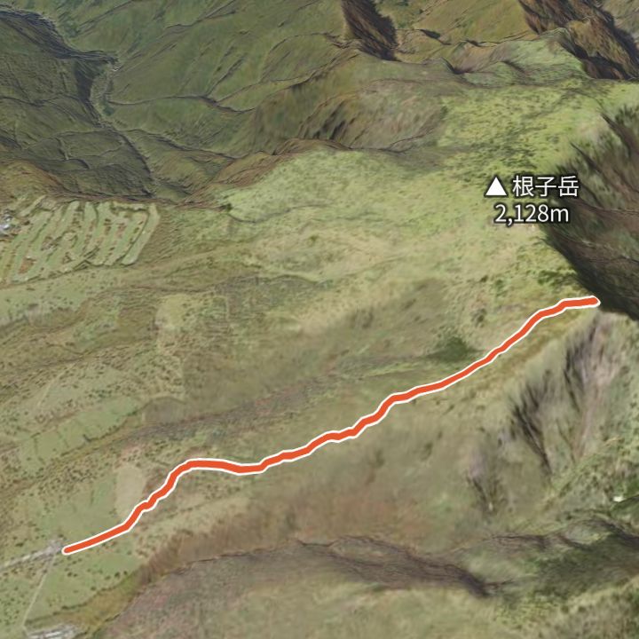 Map: GSI Japan, EOxCloudless 2025 (Copernicus Sentinel)
Nekodake 2,207m
Nekodake from Sugadaira Bokujo
From the Sugadaira ranch (1,590 m) up the grassy ridge to Nekodake (2,207 m), and back.
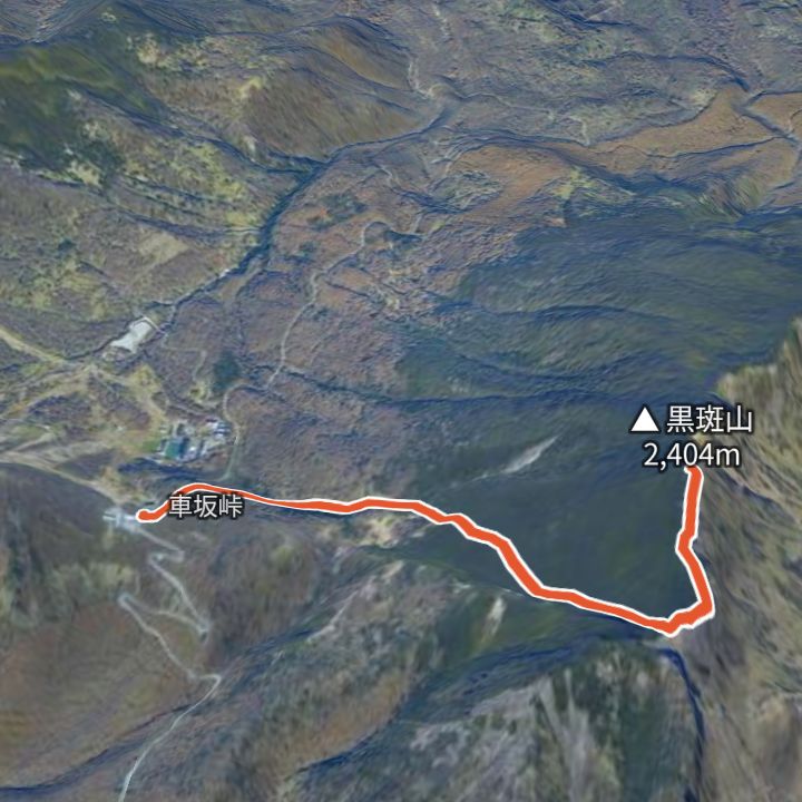 Map: GSI Japan, EOxCloudless 2025 (Copernicus Sentinel)
Kurofuyama 2,404m
Kurofuyama from Kurumazaka Pass
From Kurumazaka Pass (1,973 m) up to Kurofuyama (2,404 m) and back the same way.
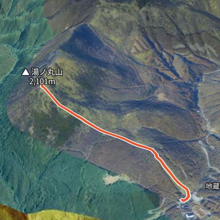 Map: GSI Japan, EOxCloudless 2025 (Copernicus Sentinel)
Yunomaruyama 2,101m
Yunomaruyama from Jizo Pass
From Jizo Pass (1,732 m) up to Yunomaruyama (2,101 m) and back the same way.
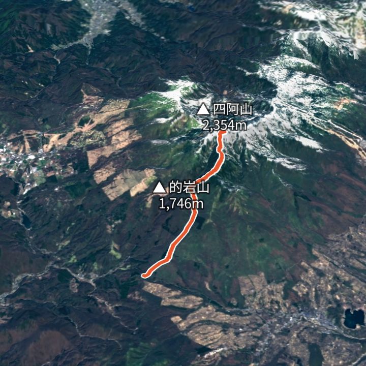 Map: GSI Japan, EOxCloudless 2025 (Copernicus Sentinel)
Azumayasan 2,354m
Azumayasan from Torii Pass
From Torii Pass (1,362 m) up to Azumayasan (2,354 m) and back the same way.
 Map: GSI Japan, EOxCloudless 2025 (Copernicus Sentinel)
Iizunayama 1,917m
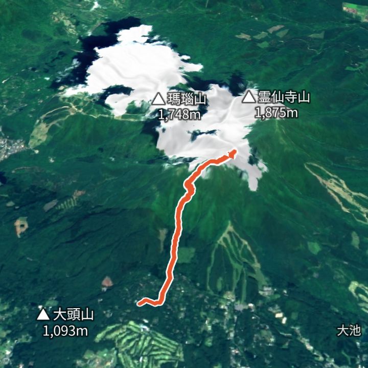
Iizunayama from Ichinotorii-enchi
From Ichinotorii-enchi (1,130 m) up to Iizunayama (1,917 m) and back the same way.
 Map: GSI Japan, EOxCloudless 2025 (Copernicus Sentinel)
Eboshidake (Yunomaru) 2,066m
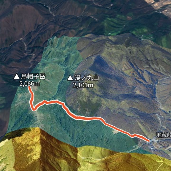
Eboshidake from Jizo Pass
From Jizo Pass (1,732 m) up to Eboshidake (2,066 m) and back the same way.
 Map: GSI Japan, EOxCloudless 2025 (Copernicus Sentinel)
Kurohimeyama 2,053m
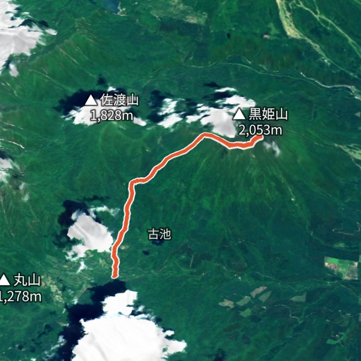
Kurohimeyama from Ohashi trailhead
From Ohashi trailhead (1,140 m) up to Kurohimeyama (2,053 m) and back the same way.
 Map: GSI Japan, EOxCloudless 2025 (Copernicus Sentinel)
Tanigawadake 1,963m
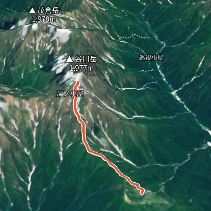
Tanigawadake from Tenjindaira
From Tenjindaira (1,313 m, reached by ropeway) up the Tenjin ridge to Toma-no-Mimi (1,963 m) on Tanigawadake and back the same way.
Mountains
- Kurofuyama (黒斑山) 2,404m
- Azumayasan (四阿山) 2,354m
- Nekodake (根子岳) 2,207m
- Yunomaruyama (湯ノ丸山) 2,101m
- Eboshidake (Yunomaru) (烏帽子岳) 2,066m
- Kurohimeyama (黒姫山) 2,053m
- Tanigawadake (谷川岳) 1,963m
- Iizunayama (飯縄山) 1,917m
Local basics
- Emergency number
- 110 (police) / 119 (fire and ambulance)
- Currency
- JPY
- Time zone
- Asia/Tokyo
- Difficulty scale
- Prefectural mountain grading (stamina 1–10, technical A–E)
- Route lines
- Paths in GSI (Japan) map data