Destinations and areas › Japan
Southern Japan Alps
Japan · 3 routes · 5 huts
Routes
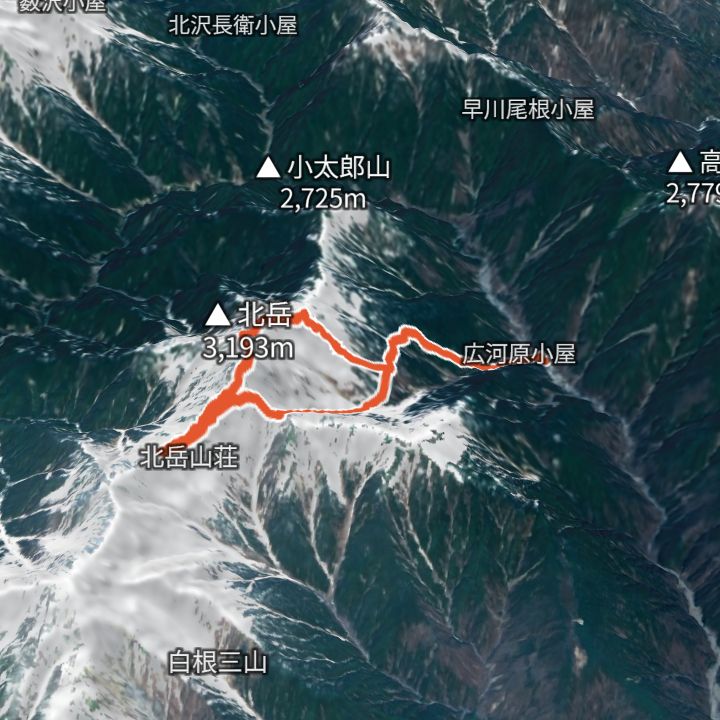 Map: GSI Japan, EOxCloudless 2025 (Copernicus Sentinel)
Kitadake 3,193m
Kitadake from Hirogawara
Up from Hirogawara past Shirane-Oike to the shoulder hut, over Kitadake (3,193 m) to Kitadake Sanso, then down via the Hachihonba col and the Okanba valley back to Hirogawara.
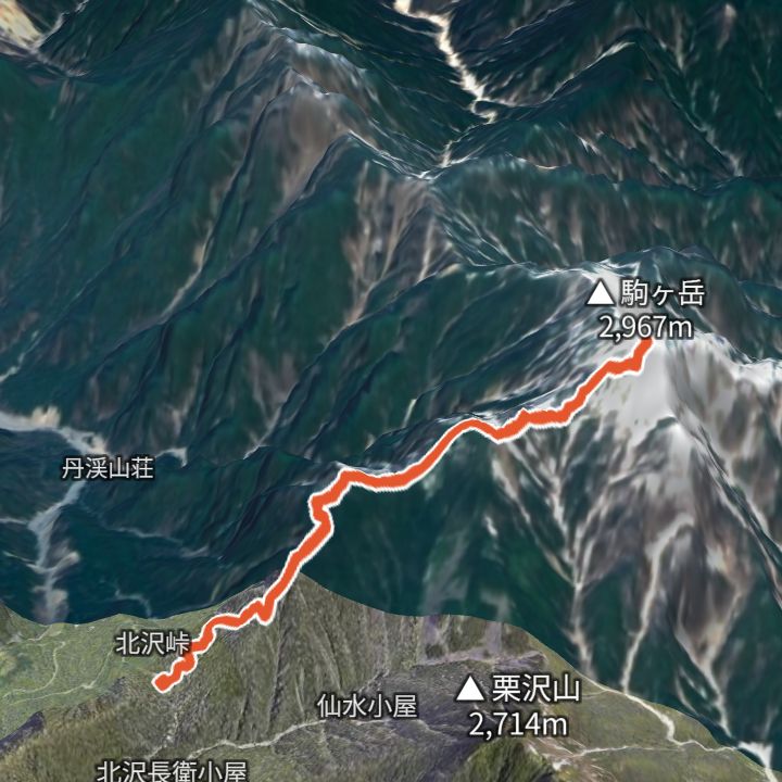 Map: GSI Japan, EOxCloudless 2025 (Copernicus Sentinel)
Kaikomagatake 2,967m
Kaikomagatake from Kitazawa Pass
From Kitazawa Pass (2,030 m) via Komatsumine to Kaikomagatake (2,967 m), and back. Nagano Prefecture advises planning an overnight stay because getting to the trailhead takes long.
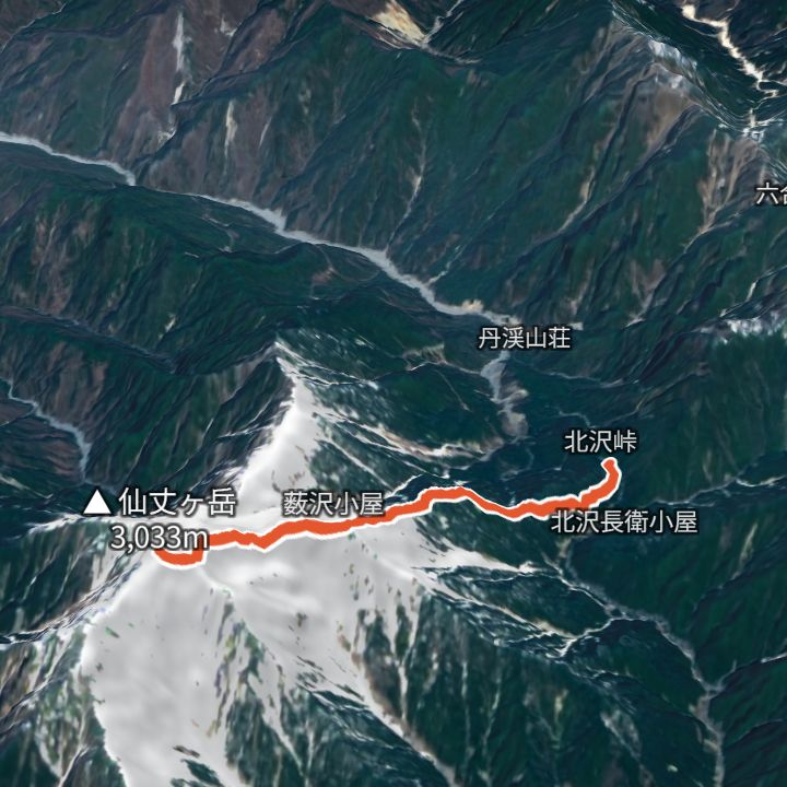 Map: GSI Japan, EOxCloudless 2025 (Copernicus Sentinel)
Senjogatake 3,033m
Senjogatake from Kitazawa Pass
From Kitazawa Pass (2,030 m) via Kosenjo to Senjogatake (3,033 m), and back. Nagano Prefecture advises planning an overnight stay because getting to the trailhead takes long.
Mountain huts
- Kitadake Kata-no-Koya (北岳肩の小屋) 3,000m / 15 Jun – 5 Nov
- Kitadake Sanso (北岳山荘) 2,900m / 15 Jun – 5 Nov
- Shirane-Oike Goya (白根御池小屋) 2,236m / 15 Jun –
- Kitazawa-toge Komorebi Sanso (北沢峠こもれび山荘) 2,032m / 25 Apr – 2 Nov
- Hirogawara Sanso (広河原山荘) Elevation not confirmed / 26 Jun – 3 Nov
Mountains
- Kitadake (北岳) 3,193m
- Senjogatake (仙丈ヶ岳) 3,033m
- Kaikomagatake (甲斐駒ヶ岳) 2,967m
Local basics
- Emergency number
- 110 (police) / 119 (fire and ambulance)
- Currency
- JPY
- Time zone
- Asia/Tokyo
- Difficulty scale
- Prefectural mountain grading (stamina 1–10, technical A–E)
- Route lines
- Paths in GSI (Japan) map data