Destinations and areas › Japan
Central Japan Alps
Japan · 2 routes · 3 huts
Routes
 Map: GSI Japan, EOxCloudless 2025 (Copernicus Sentinel)
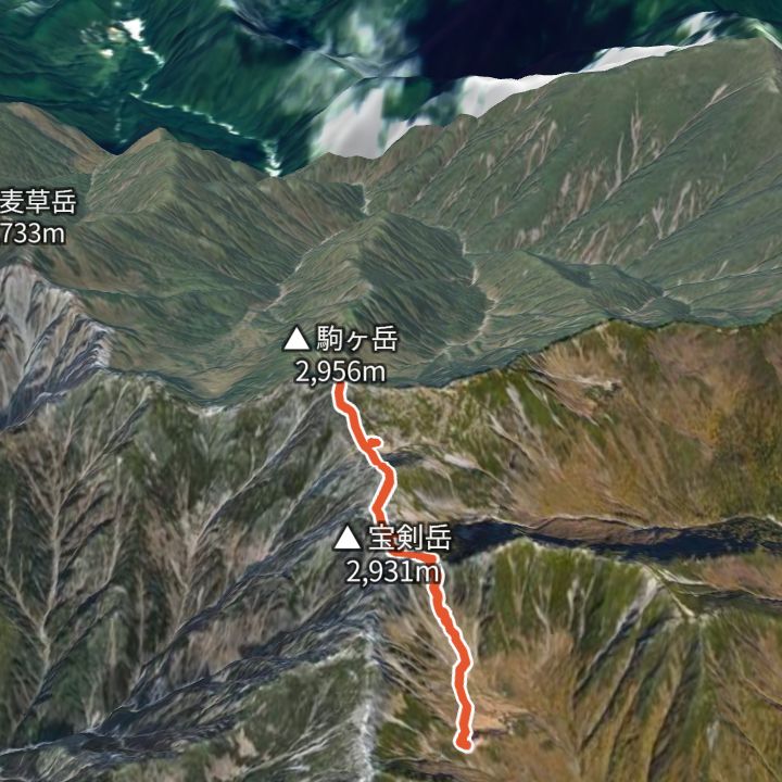
Kisokoma-ga-take 2,956m
Kisokoma-ga-take from the Senjojiki cirque
Ride the Komagatake Ropeway up to Senjojiki (2,612 m), climb out of the cirque to the ridge by Hoken Sanso and Tengu-so, cross Nakadake and reach Kisokoma-ga-take (2,956 m), then return the same way.
 Map: GSI Japan, EOxCloudless 2025 (Copernicus Sentinel)
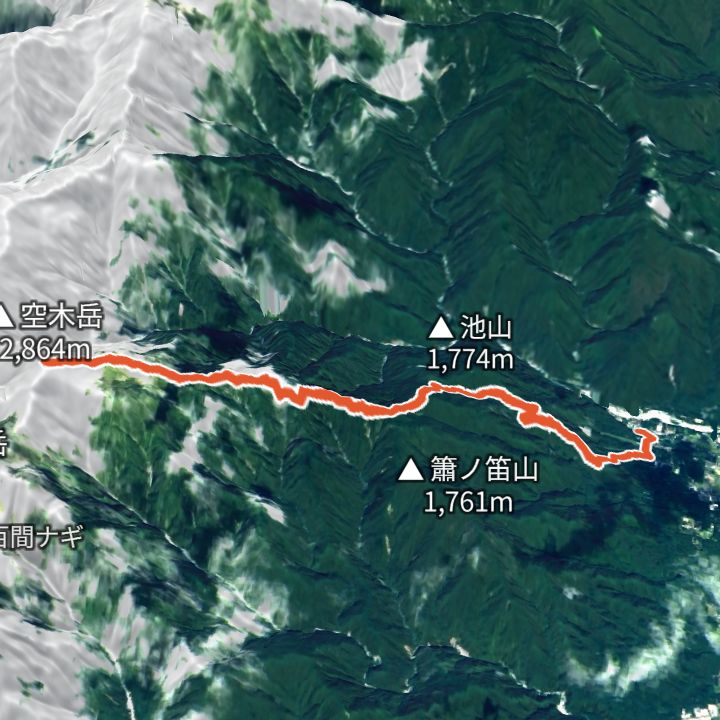
Utsugidake 2,864m
Utsugidake from Komagane Kogen
From Komagane Kogen (860 m) up to Utsugidake (2,864 m) and back the same way.
Mountain huts
- Tengu-so (天狗荘) 2,870m / Not confirmed
- Hoken Sanso (宝剣山荘) 2,870m / Not confirmed
- Komagatake Chojo Sanso (駒ヶ岳頂上山荘) 2,870m / Not confirmed
Mountains
- Kisokoma-ga-take (木曽駒ヶ岳) 2,956m
- Nakadake (中岳) 2,925m
- Utsugidake (空木岳) 2,864m
Local basics
- Emergency number
- 110 (police) / 119 (fire and ambulance)
- Currency
- JPY
- Time zone
- Asia/Tokyo
- Difficulty scale
- Prefectural mountain grading (stamina 1–10, technical A–E)
- Route lines
- Paths in GSI (Japan) map data