Nakadake (中岳)
Elevation 2,925m. 1 routes go up this mountain.
The easiest route starts at Senjojiki: Day trip, 3h42 of walking (stamina 2, technical B). 3 huts to stay at.
Routes up Nakadake
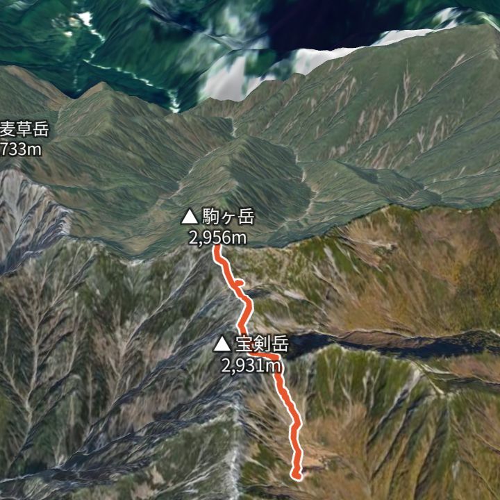 Map: GSI Japan, EOxCloudless 2025 (Copernicus Sentinel)
Kisokoma-ga-take 2,956m
Kisokoma-ga-take from the Senjojiki cirque
Ride the Komagatake Ropeway up to Senjojiki (2,612 m), climb out of the cirque to the ridge by Hoken Sanso and Tengu-so, cross Nakadake and reach Kisokoma-ga-take (2,956 m), then return the same way.
Huts to stay at
- Hoken Sanso (宝剣山荘) Mountain hut / 2,870m
- Tengu-so (天狗荘) Mountain hut / 2,870m
- Komagatake Chojo Sanso (駒ヶ岳頂上山荘) Mountain hut / 2,870m
Each route page gives the sources for times and grades.