Destinations and areas › Japan
Kanto
Japan · 3 routes · 0 huts
Routes
 Map: GSI Japan, EOxCloudless 2025 (Copernicus Sentinel)
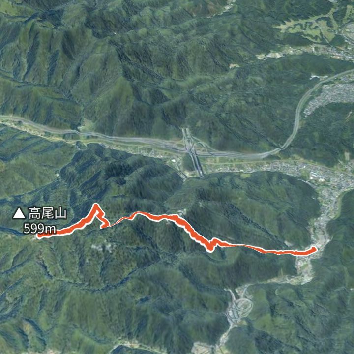
Mount Takao 599m
Mount Takao by the Omotesando (Trail 1)
From Takaosanguchi Station up the Omotesando (Trail 1) past Yakuoin temple to the summit of Mount Takao (599 m), and back the same way.
 Map: GSI Japan, EOxCloudless 2025 (Copernicus Sentinel)
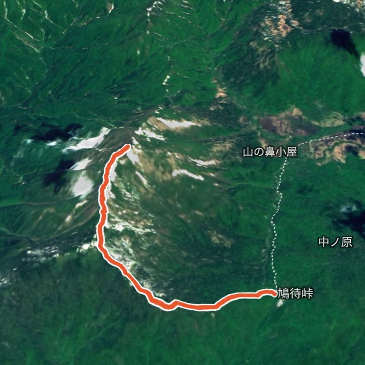
Shibutsusan 2,228m
Shibutsusan from Hatomachi Pass
From Hatomachi Pass (1,592 m) up to Shibutsusan (2,228 m) in Oze and back the same way.
 Map: GSI Japan, EOxCloudless 2025 (Copernicus Sentinel)
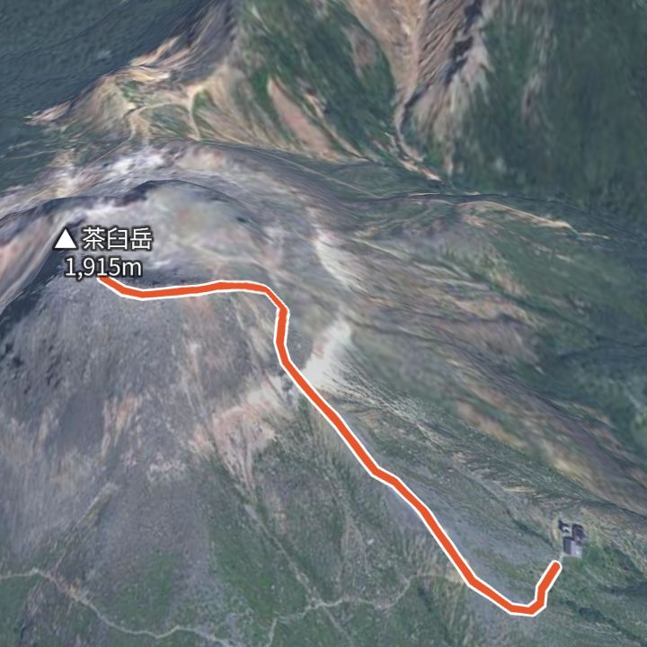
Chausudake (Nasu) 1,915m
Chausudake from Nasu Ropeway top station
From the Nasu Ropeway top station (1,688 m) up to Chausudake (1,915 m) in Nasu and back the same way.
Mountains
- Shibutsusan (至仏山) 2,228m
- Chausudake (Nasu) (茶臼岳) 1,915m
- Mount Takao (高尾山) 599m
Local basics
- Emergency number
- 110 (police) / 119 (fire and ambulance)
- Currency
- JPY
- Time zone
- Asia/Tokyo
- Difficulty scale
- Prefectural mountain grading (stamina 1–10, technical A–E)
- Route lines
- Paths in GSI (Japan) map data