How hard is it?
Easy.
Walkable path
Stamina 1 / 10Walking 1h12
“A day trip is possible”
Technical A
Mostly well-maintained path; hiking gear needed
- Typical
- Day trip
- Walking time
- 1h12walking only, no breaks
- Distance
- approx. 1.8 km
- Total climb
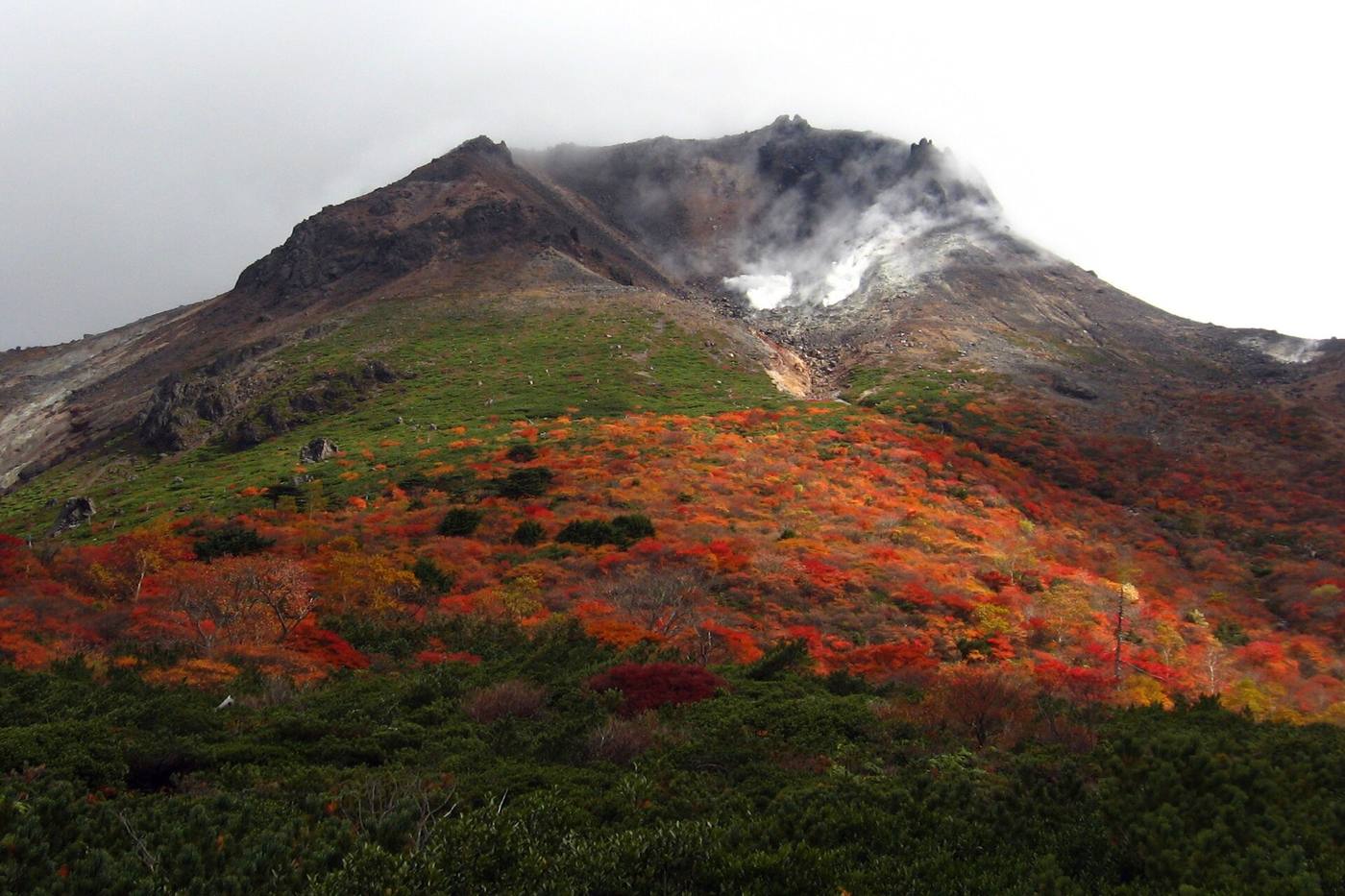
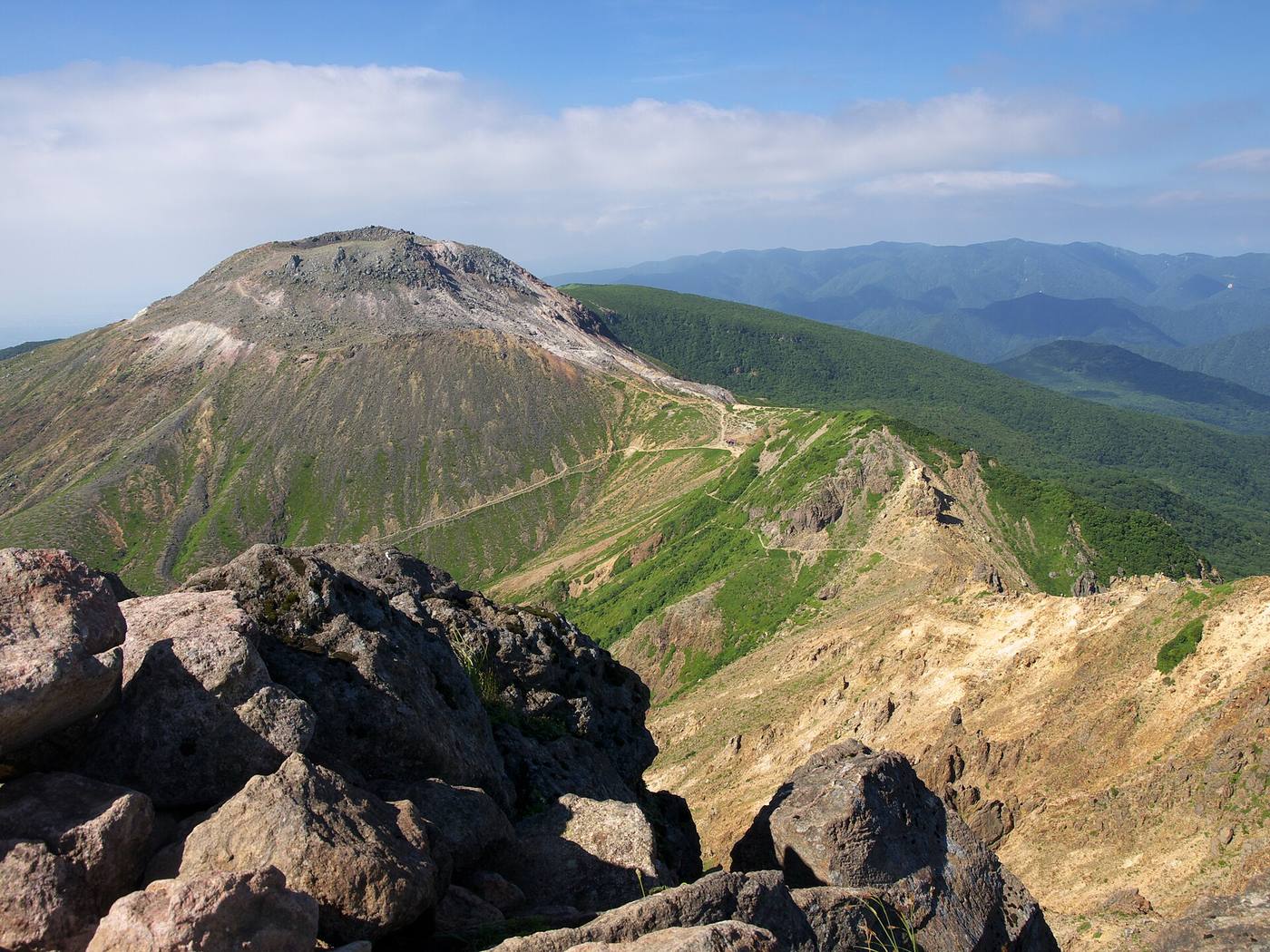
- approx. 230m high point Chausudake (Nasu) 1,915m
Stamina and technical grades: Tochigi Prefecture mountain grading, No.55 (our translation). HutsGo is still checking these against the table. See the table
How do I get there?
Public transport not confirmed.
Back to the same trailhead
- Nasu Ropeway top station 1,688m
- Day trip, out and back
- Nasu Ropeway top station Back to the same trailhead
Do I need to book?
A day route: no hut booking needed.
Map and elevation
Times split the official prefectural total (no breaks)
The line follows the GSI map footpaths. Trust the signposts on the day. Save GPX
High point 1,915m / Total ascent approx. 227m / 227m of climbing from Nasu Ropeway top station (1,688m)
Hut (tap for details) Trailhead Point passed Elevation not confirmed
The horizontal axis is the order of the route, not time: we have not confirmed this route's leg times against an official source. The ridge line simply joins the recorded points, so it does not show the real shape of the terrain. Total ascent is an approximation summed between those points.


Stop by stop
Section times split the prefecture's official total course time across sections by path length, climb and descent.
- approx. 1h10 up 228m down 224m via Chausudake (Nasu) 1,915m