Chougatake (蝶ヶ岳)
Elevation 2,677m. 2 routes go up this mountain.
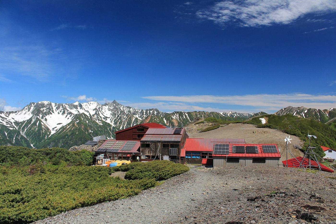
The easiest route starts at Mitsumata: 1 nights / 2 days, 7h42 of walking (stamina 4, technical B). 2 routes. 2 huts to stay at.
Routes up Chougatake
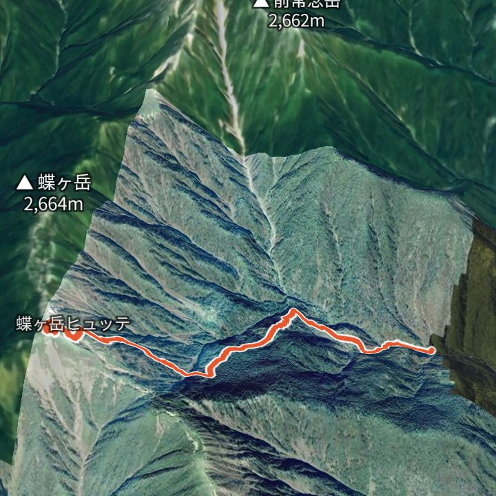 Map: GSI Japan, EOxCloudless 2025 (Copernicus Sentinel)
Chougatake 2,664m
Chougatake from Mitsumata
From Mitsumata (1,359 m) up to Chougatake (2,664 m) and back the same way.
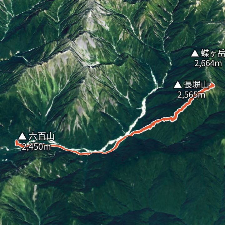 Map: GSI Japan, EOxCloudless 2025 (Copernicus Sentinel)
Chougatake 2,677m
Chougatake via the Nagakabe ridge
From Kamikochi to Tokusawa, then up the Nagakabe ridge to Chougatake Hutte, facing Yari and Hotaka across the valley.
Huts to stay at
- Chogatake Hutte (蝶ヶ岳ヒュッテ) Mountain hut
- Tokusawaen (徳澤園) Lodge / 1,560m
Each route page gives the sources for times and grades.