Kitayokodake (北横岳)
Elevation 2,480m. 1 routes go up this mountain.
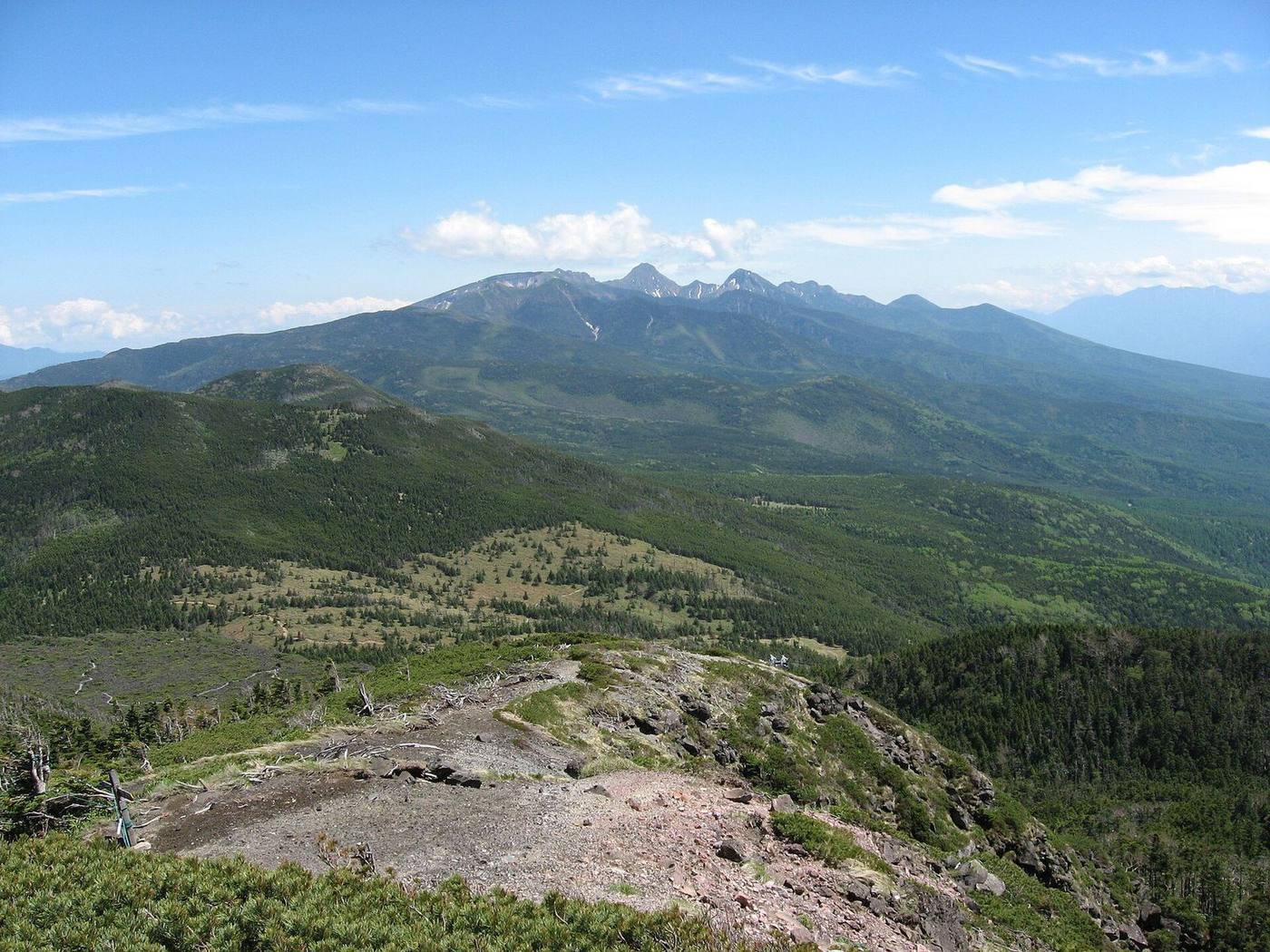
The easiest route starts at Kita-Yatsugatake Ropeway top station: Day trip, 2h12 of walking (stamina 1, technical A).
Routes up Kitayokodake
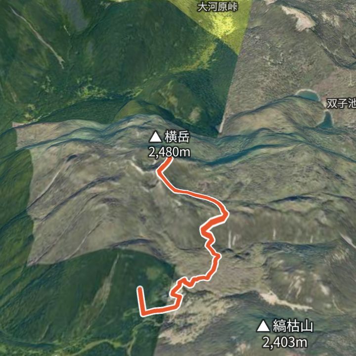 Map: GSI Japan, EOxCloudless 2025 (Copernicus Sentinel)
Kitayokodake 2,480m
Kitayokodake from the Kita-Yatsugatake Ropeway
Ride the ropeway to the top station (2,230 m), walk past the Tsuboniwa lava garden to Kitayokodake (2,480 m), and back.
Each route page gives the sources for times and grades.