Destinations and areas › Japan
Yatsugatake
Japan · 7 routes · 8 huts
Routes
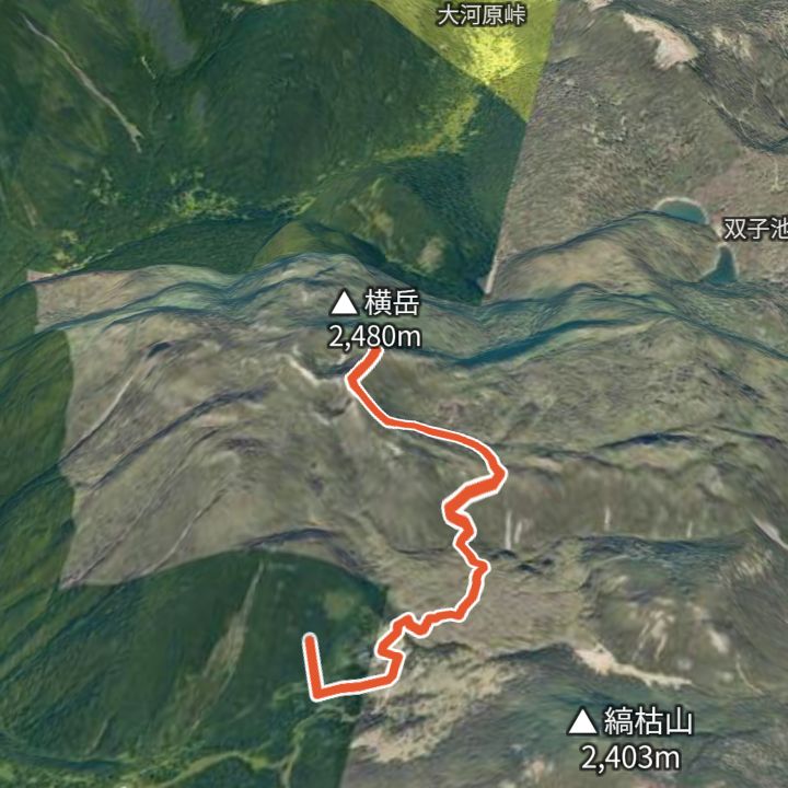 Map: GSI Japan, EOxCloudless 2025 (Copernicus Sentinel)
Kitayokodake 2,480m
Kitayokodake from the Kita-Yatsugatake Ropeway
Ride the ropeway to the top station (2,230 m), walk past the Tsuboniwa lava garden to Kitayokodake (2,480 m), and back.
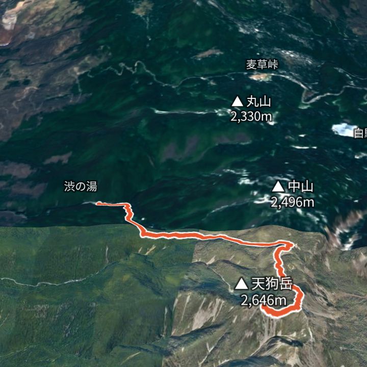 Map: GSI Japan, EOxCloudless 2025 (Copernicus Sentinel)
Nishi-Tengudake 2,646m
Tengudake from Shibu-no-yu
From Shibu-no-yu (1,840 m) up over Higashi-Tengu to Nishi-Tengu (2,646 m), and back.
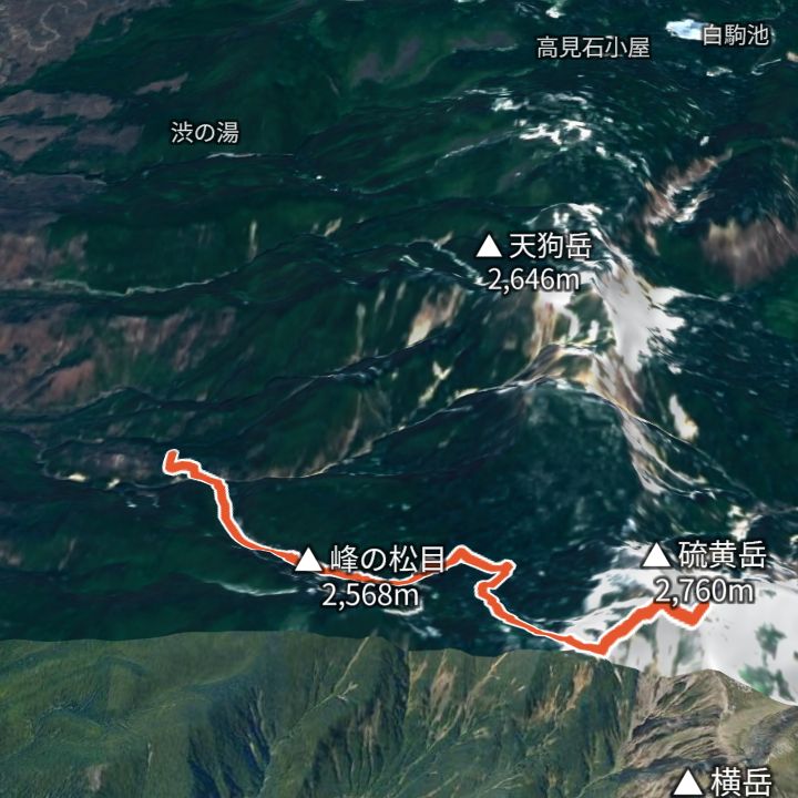 Map: GSI Japan, EOxCloudless 2025 (Copernicus Sentinel)
Iodake 2,760m
Iodake from Sakuradaira
From Sakuradaira (1,890 m) via Natsuzawa pass to Iodake (2,760 m) on the rim of an explosion crater, and back.
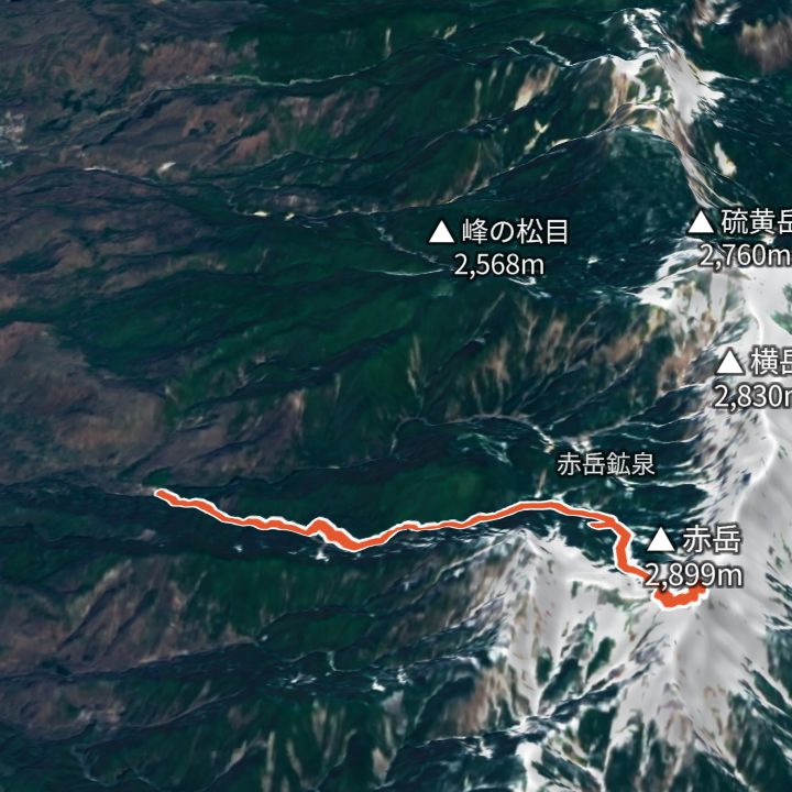 Map: GSI Japan, EOxCloudless 2025 (Copernicus Sentinel)
Akadake Chojo Sanso 2,899m
Akadake from Minoto
From Minoto (1,690 m) up to Akadake (2,899 m) and back the same way.
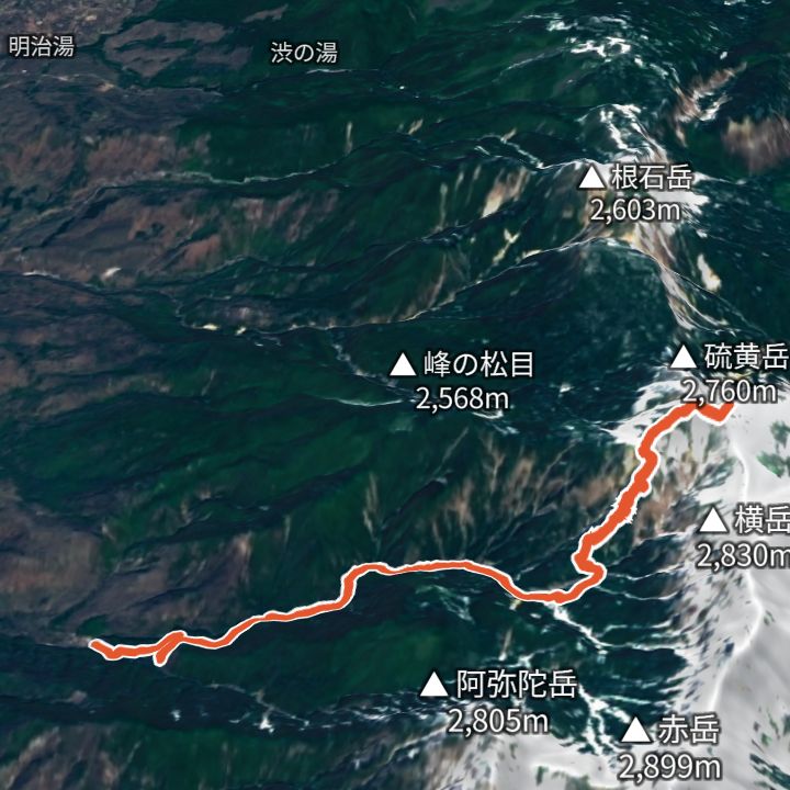 Map: GSI Japan, EOxCloudless 2025 (Copernicus Sentinel)
Iodake 2,760m
Iodake from Minoto
From Minoto (1,690 m) up to Iodake (2,760 m) and back the same way.
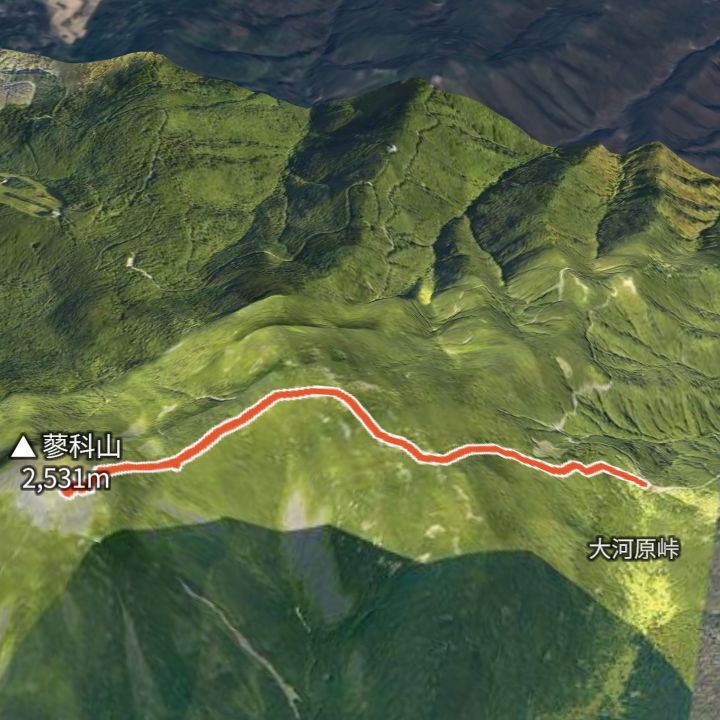 Map: GSI Japan, EOxCloudless 2025 (Copernicus Sentinel)
Tateshina Sancho Hutte 2,531m
Tateshinayama from Ogawara Pass
From Ogawara Pass (2,090 m) up to Tateshinayama (2,530 m) and back the same way.
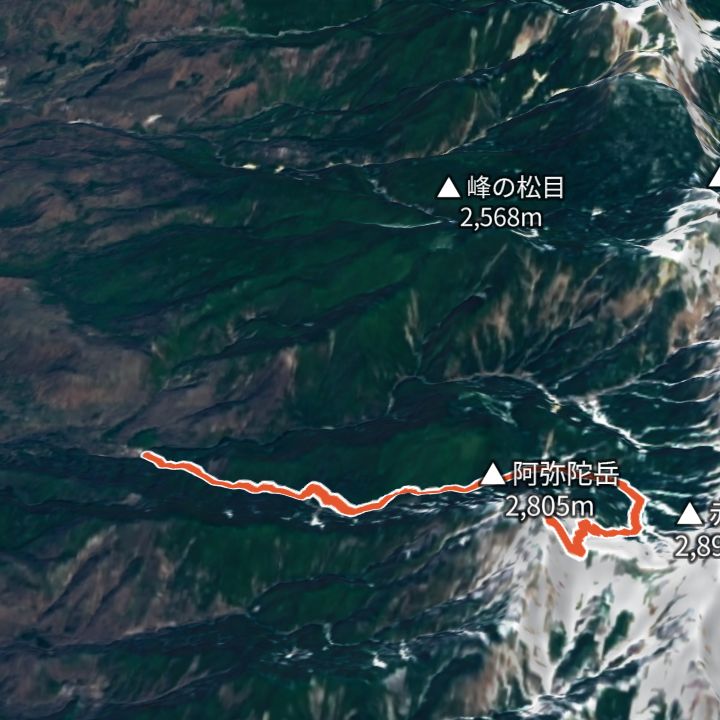 Map: GSI Japan, EOxCloudless 2025 (Copernicus Sentinel)
Amidadake 2,805m
Amidadake from Minoto
From Minoto (1,690 m) up to Amidadake (2,805 m) and back the same way.
Mountain huts
- Akadake Chojo Sanso (赤岳頂上山荘) 2,899m / 4 Jul – 25 Oct
- Tateshina Sancho Hutte (蓼科山頂ヒュッテ) 2,531m / 25 Apr – 31 Oct
- Kuroyuri Hutte (黒百合ヒュッテ) 2,400m / Open all year
- Tateshina Sanso (蓼科山荘) 2,350m / 25 Apr – 31 Oct
- Gyoja-goya (行者小屋) 2,340m / 30 May – 31 Oct
- Oren-goya (オーレン小屋) 2,330m / 25 Apr – 1 Nov
- Akadake Kosen (赤岳鉱泉) 2,220m / Open all year
- Natsuzawa Kosen (夏沢鉱泉) 2,060m / Open all year
Mountains
- Akadake (赤岳) 2,899m
- Amidadake (阿弥陀岳) 2,805m
- Iodake (硫黄岳) 2,760m
- Tengudake (天狗岳) 2,646m
- Tateshinayama (蓼科山) 2,530m
- Kitayokodake (北横岳) 2,480m
Local basics
- Emergency number
- 110 (police) / 119 (fire and ambulance)
- Currency
- JPY
- Time zone
- Asia/Tokyo
- Difficulty scale
- Prefectural mountain grading (stamina 1–10, technical A–E)
- Route lines
- Paths in GSI (Japan) map data