Day trip / approx. 9.8 km / High point 2,646m
Tengudake from Shibu-no-yu
Shibu-no-yu → Nishi-Tengudake → Shibu-no-yu
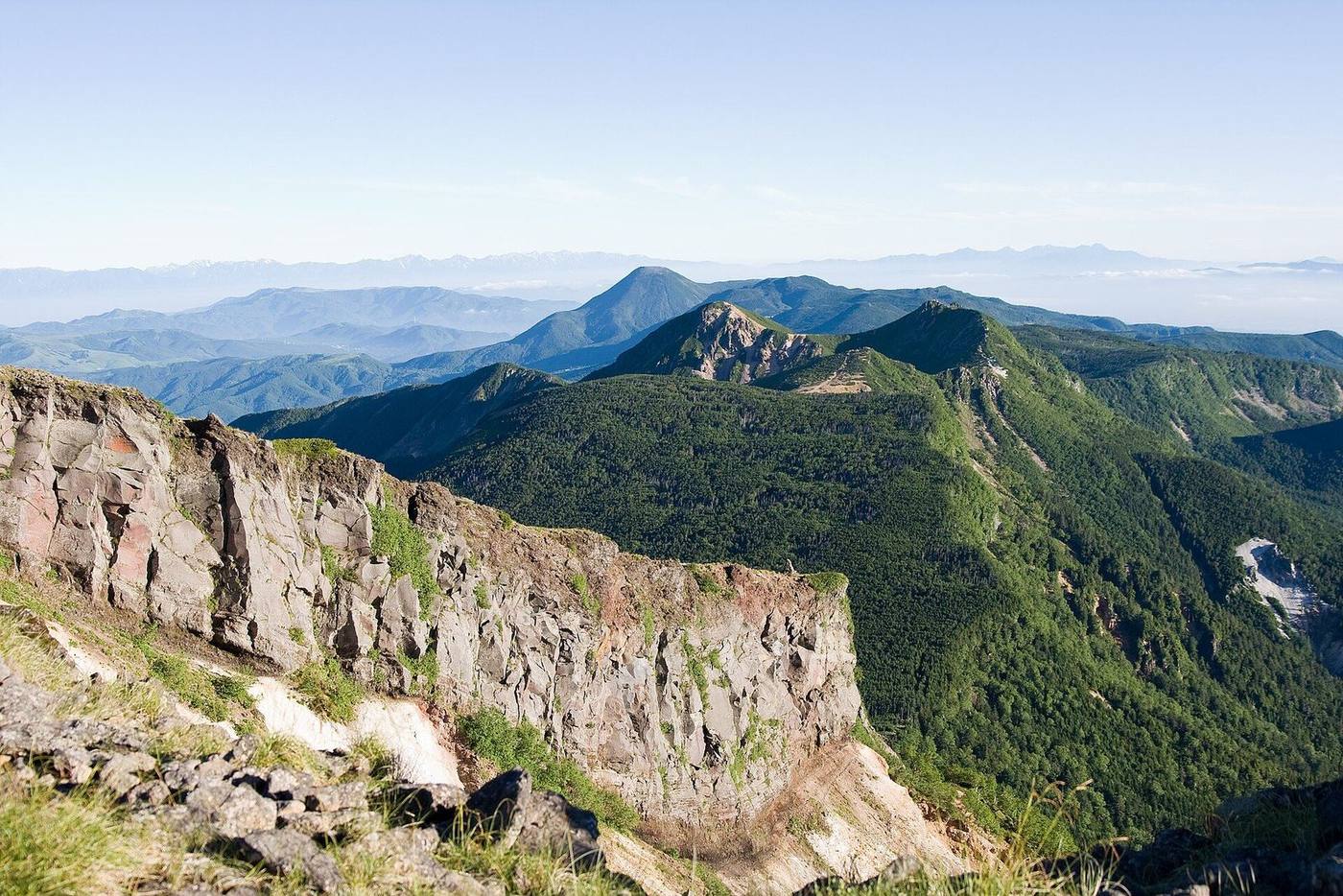
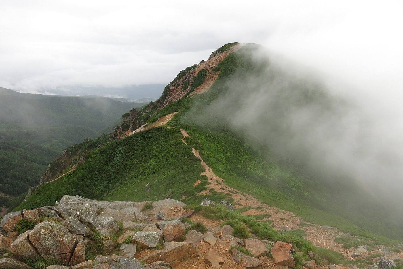
From Shibu-no-yu (1,840 m) up over Higashi-Tengu to Nishi-Tengu (2,646 m), and back.
How hard is it?
Easy.
Walkable path
Stamina 3 / 10Walking approx. 6h25
“A day trip is possible”
Technical B
Steep ups and downs; hiking experience needed
- Typical
- Day trip
- Walking time
- approx. 6h25estimated from distance, climb and descent; no breaks
- Distance
- approx. 9.8 km
- Total climb
- approx. 890m high point Nishi-Tengudake 2,646m
Stamina and technical grades: Nagano Prefecture mountain grading, No.88 (our translation). Figures are for a similar route. HutsGo is still checking these against the table. See the table
How do I get there?
Reachable by Bus.
Back to the same trailhead
- Chino Station (Okutateshina Shibu-no-yu line)
- Bus
- Shibu-no-yu 1,840m
- Day trip, out and back
- Shibu-no-yu Back to the same trailhead
When are the huts open?
Open today (10/23): 1 of 1 huts
- Kuroyuri Hutte Open all year
2026 season dates, from each hut's official site and Nagano Prefecture's hut list (sources on each hut page).
When does booking open?
1 huts to stay at. Book with each hut (HutsGo takes no bookings).
- Kuroyuri Hutte Not confirmed
Map and elevation
Times are estimates from distance and climb (no breaks)
The line follows the GSI map footpaths. Trust the signposts on the day. Save GPX
High point 2,646m / Total ascent approx. 806m / 806m of climbing from Shibu-no-yu (1,840m)
Hut (tap for details) Trailhead Point passed Elevation not confirmed
The horizontal axis is the order of the route, not time: we have not confirmed this route's leg times against an official source. The ridge line simply joins the recorded points, so it does not show the real shape of the terrain. Total ascent is an approximation summed between those points.


Stop by stop
Section times are estimates from the path length, climb and descent (a formula fitted to Nagano Prefecture's grading table; typically within about 10%).
- approx. 2h05 up 543m down 5m
-
2,400m
Kuroyuri Hutte (黒百合ヒュッテ)Mountain hut
Open all year Booking required for every stay Secondary source (as of 2026-10-13)
Prices not confirmed
Facilities (toilet, water, charging, payment) not confirmed
- approx. 2h25 up 341m down 344m via Nishi-Tengudake 2,646m
-
2,400m
Kuroyuri Hutte (黒百合ヒュッテ) again on the way back ↑ details
- approx. 1h55 up 7m down 548m