Nishihotakadake (西穂高岳)
Elevation 2,909m. 2 routes go up this mountain.
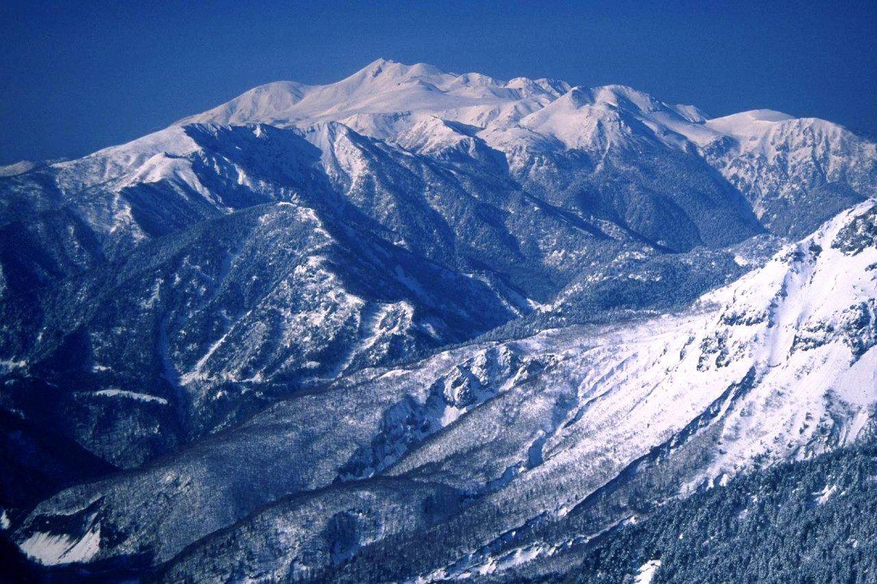
The easiest route starts at Nishihotakaguchi: 1 nights / 2 days, approx. 5h55 of walking. 2 routes. 1 huts to stay at.
Routes up Nishihotakadake
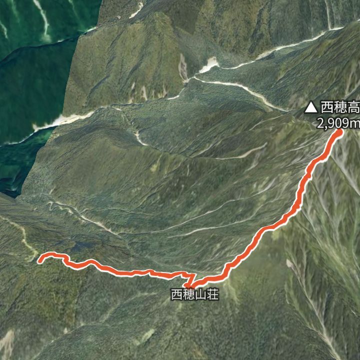 Map: GSI Japan, EOxCloudless 2025 (Copernicus Sentinel)
Nishihotakadake 2,909m
Nishihotakadake from the Shinhotaka Ropeway
Ride the Shinhotaka Ropeway up to Nishihotakaguchi (2,156 m), walk to Nishiho Sanso, then over the Dokuhyo knoll to the Nishihotakadake summit (2,909 m) and back the same way.
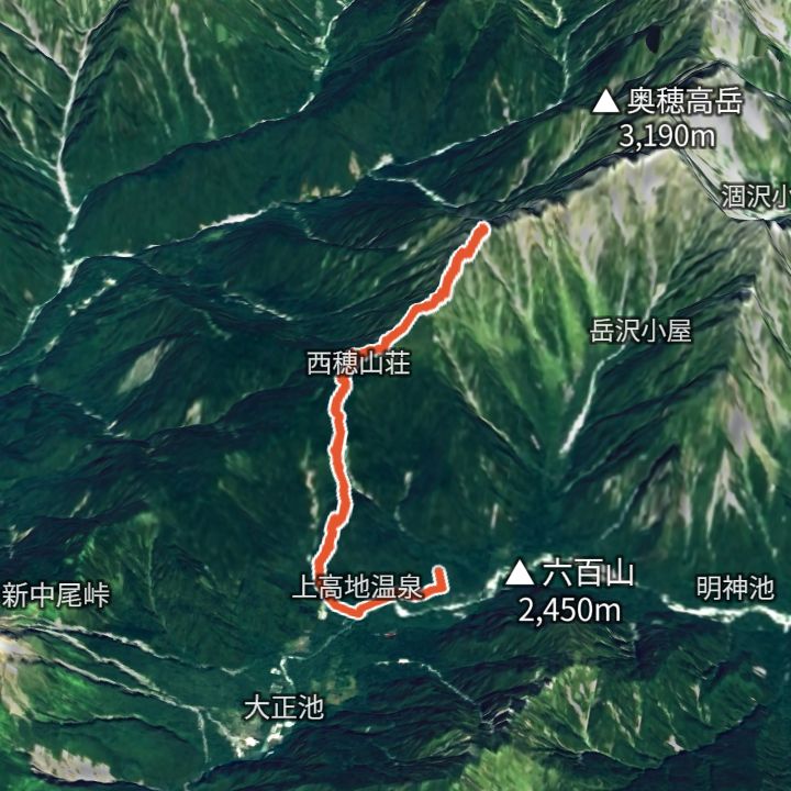 Map: GSI Japan, EOxCloudless 2025 (Copernicus Sentinel)
Nishihotakadake 2,909m
Nishihotakadake from Kamikochi
From Kamikochi up to Nishiho Sanso, then out and back to the Nishihotakadake summit.
Huts to stay at
- Nishiho Sanso (西穂山荘) Mountain hut / 2,367m
Each route page gives the sources for times and grades.