Rengedake (蓮華岳)
Elevation 2,799m. 1 routes go up this mountain.
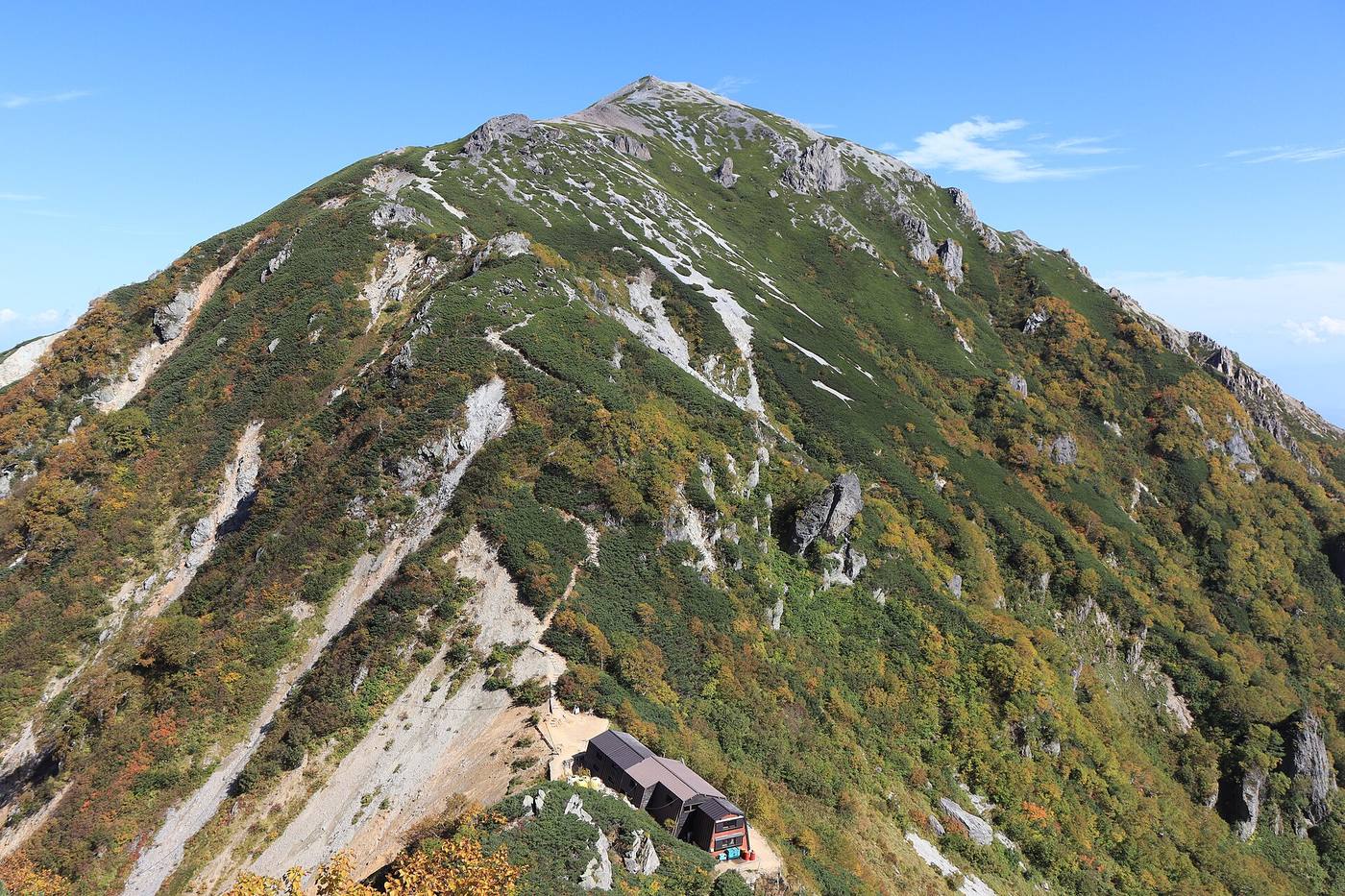
The easiest route starts at Ogizawa: 1 nights / 2 days, 10h of walking (stamina 4, technical B). 2 huts to stay at.
Routes up Rengedake
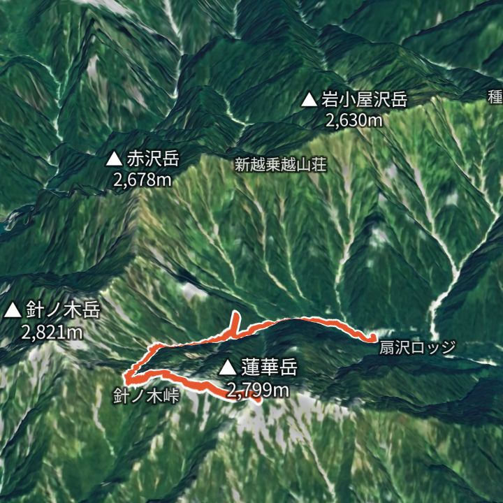 Map: GSI Japan, EOxCloudless 2025 (Copernicus Sentinel)
Rengedake 2,799m
Rengedake from Ogizawa
From Ogizawa (1,418 m) up to Rengedake (2,799 m) and back the same way.
Huts to stay at
- Osawa-goya (大沢小屋) Mountain hut / 1,700m
- Harinoki-goya (針ノ木小屋) Mountain hut / 2,536m
Each route page gives the sources for times and grades.