Destinations and areas › Japan
Tohoku
Japan · 3 routes · 0 huts
Routes
 Map: GSI Japan, EOxCloudless 2025 (Copernicus Sentinel)
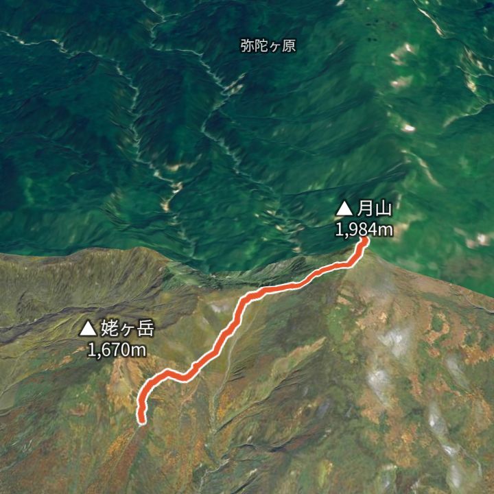
Gassan 1,984m
Gassan from Gassan lift top station
From the Gassan lift top station (1,520 m) up to Gassan (1,984 m) and back the same way.
 Map: GSI Japan, EOxCloudless 2025 (Copernicus Sentinel)
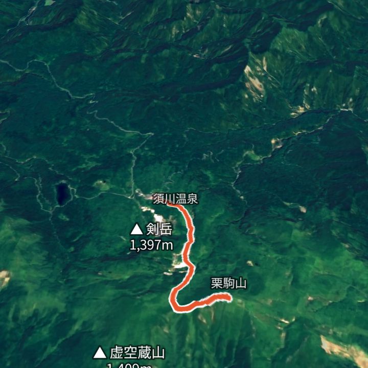
Kurikomayama 1,626m
Kurikomayama from Sukawa Onsen
From Sukawa Onsen (1,114 m) up to Kurikomayama (1,626 m) and back the same way. Part of the Sukawa trail was closed because of volcanic gas and reopened on 18 July 2026 (Iwate Prefecture).
 Map: GSI Japan, EOxCloudless 2025 (Copernicus Sentinel)
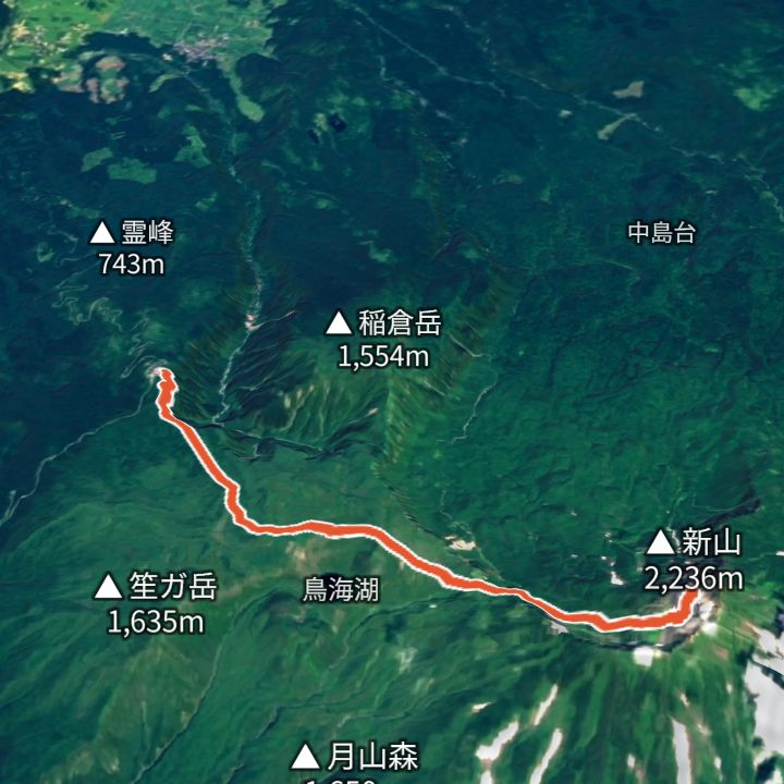
Chokaisan 2,236m
Chokaisan from Hokodate
From Hokodate (1,160 m) up to Shinzan (2,236 m), the summit of Chokaisan, and back the same way.
Mountains
- Chokaisan (鳥海山) 2,236m
- Gassan (月山) 1,984m
- Kurikomayama (栗駒山) 1,626m
Local basics
- Emergency number
- 110 (police) / 119 (fire and ambulance)
- Currency
- JPY
- Time zone
- Asia/Tokyo
- Difficulty scale
- Prefectural mountain grading (stamina 1–10, technical A–E)
- Route lines
- Paths in GSI (Japan) map data