Kurikomayama (栗駒山)
Elevation 1,626m. 1 routes go up this mountain.
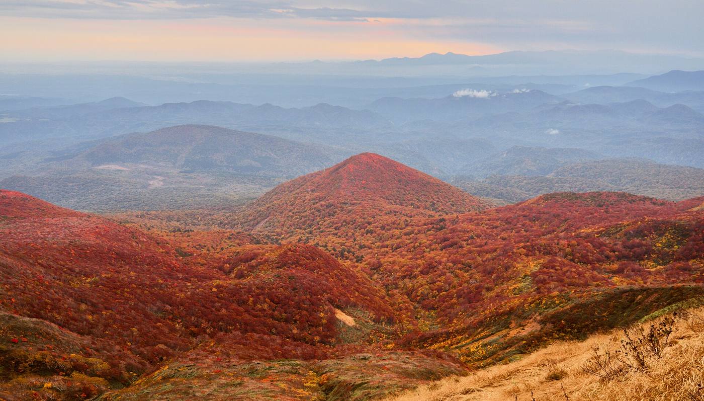
200 Famous Mountains. The easiest route starts at Sukawa Onsen: Day trip, approx. 4h10 of walking (stamina 3, technical B). Source for lists and height rank: Wikipedia「日本二百名山」
Routes up Kurikomayama
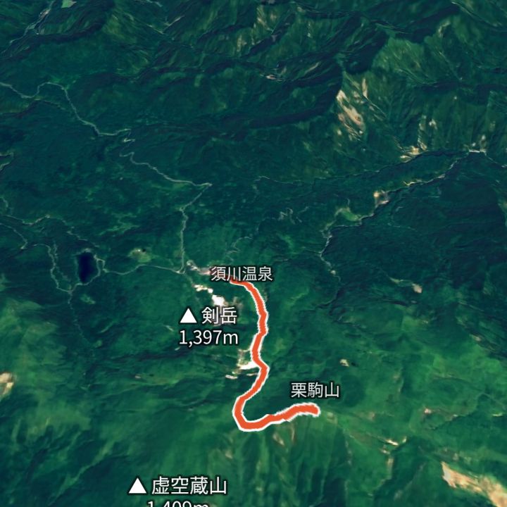 Map: GSI Japan, EOxCloudless 2025 (Copernicus Sentinel)
Kurikomayama 1,626m
Kurikomayama from Sukawa Onsen
From Sukawa Onsen (1,114 m) up to Kurikomayama (1,626 m) and back the same way. Part of the Sukawa trail was closed because of volcanic gas and reopened on 18 July 2026 (Iwate Prefecture).
Each route page gives the sources for times and grades.