Akaiwadake (赤岩岳)
Elevation 2,769m. 1 routes go up this mountain.
The easiest route starts at Nakabusa Onsen trailhead: 2 nights / 3 days, 25h18 of walking (stamina 9, technical C). 6 huts to stay at.
Routes up Akaiwadake
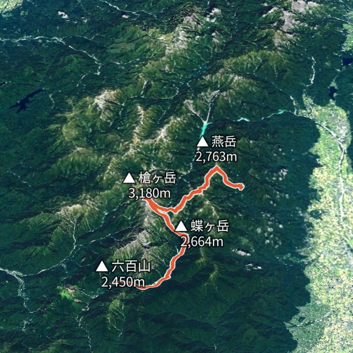 Map: GSI Japan, EOxCloudless 2025 (Copernicus Sentinel)
Yarigatake 3,180m
Omote-Ginza traverse (Nakabusa to Yari to Kamikochi)
The classic Northern Alps ridge line: up to Tsubakuro-dake, along to Daitenjo, the Higashi-Kama ridge to Yarigatake, then down the Yarisawa valley to Kamikochi.
Huts to stay at
- Enzanso (燕山荘) Mountain hut / 2,712m
- Daitenso (大天荘) Mountain hut / 2,870m
- Otensho Hutte (大天井ヒュッテ) Mountain hut
- Hutte Nishidake (ヒュッテ西岳) Mountain hut / 2,680m
- Hutte Oyari (ヒュッテ大槍) Mountain hut / 2,884m
- Yarigatake Sanso (槍ヶ岳山荘) Mountain hut
Each route page gives the sources for times and grades.