Okuhotakadake (奥穂高岳)
Elevation 3,190m. 2 routes go up this mountain.
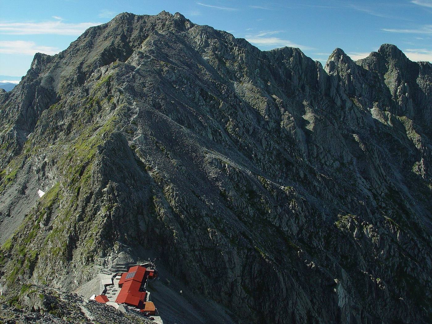
100 Famous Mountains (listed as Hotakadake). The third-highest mountain in Japan (3,190 m, tied with Ainodake). The easiest route starts at Kamikochi: 2 nights / 3 days, 17h42 of walking (stamina 7, technical C). 2 routes. 6 huts to stay at. Source for lists and height rank: Wikipedia「日本百名山」「日本の山一覧 (高さ順)」
Routes up Okuhotakadake
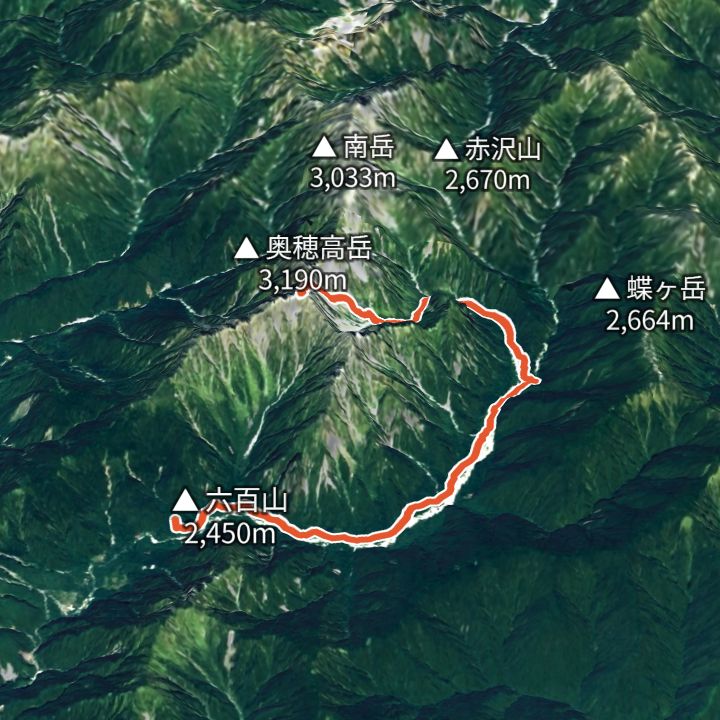 Map: GSI Japan, EOxCloudless 2025 (Copernicus Sentinel)
Okuhotakadake 3,190m
Okuhotakadake via Karasawa
From Kamikochi via Yokoo and Karasawa, up the Zaitengrat to Hotakadake Sanso, then out and back to the Okuhotakadake summit.
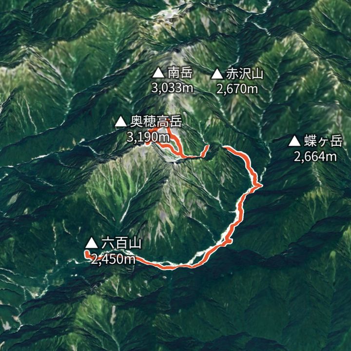 Map: GSI Japan, EOxCloudless 2025 (Copernicus Sentinel)
Okuhotakadake 3,190m
Karasawa Base: the Hotaka circuit
Walk in from Kamikochi to the Karasawa cirque, round Kita-Hotaka and Oku-Hotaka, then back down to Kamikochi.
Huts to stay at
- Yokoo Sanso (横尾山荘) Mountain hut / 1,620m
- Karasawa-goya (涸沢小屋) Mountain hut / 2,350m
- Hotakadake Sanso (穂高岳山荘) Mountain hut / 2,996m
- Tokusawaen (徳澤園) Lodge / 1,560m
- Karasawa Hutte (涸沢ヒュッテ) Mountain hut
- Kitahotaka-goya (北穂高小屋) Mountain hut / 3,100m
Each route page gives the sources for times and grades.