Yarigatake (槍ヶ岳)
Elevation 3,180m. 3 routes go up this mountain.
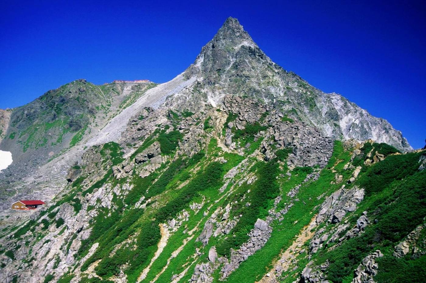
100 Famous Mountains. The fifth-highest mountain in Japan. The easiest route starts at Kamikochi: 2 nights / 3 days, 20h of walking (stamina 8, technical C). 3 routes. 14 huts to stay at. Source for lists and height rank: Wikipedia「日本百名山」「日本の山一覧 (高さ順)」
Routes up Yarigatake
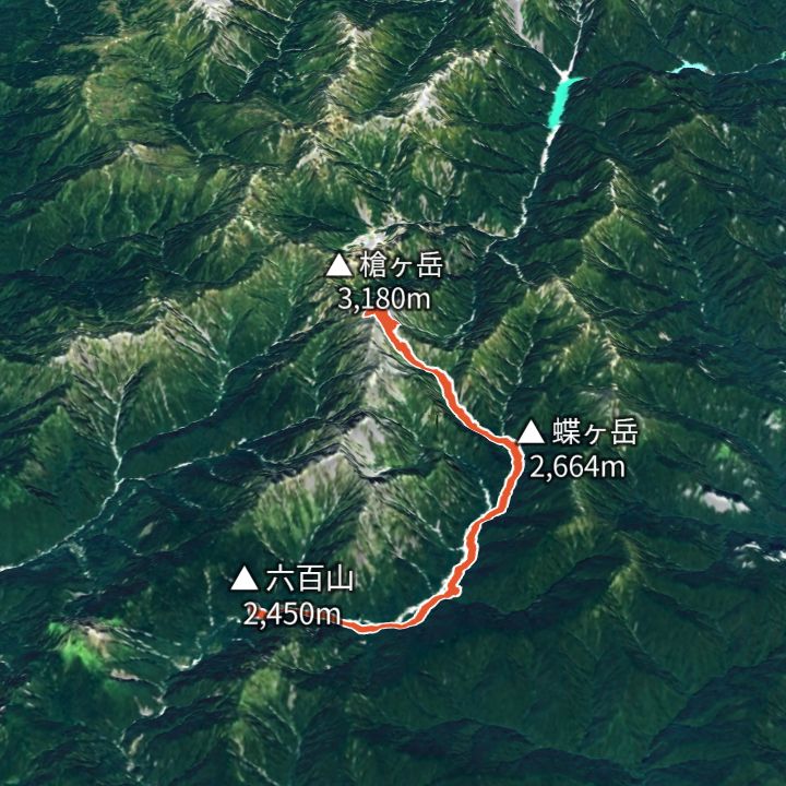 Map: GSI Japan, EOxCloudless 2025 (Copernicus Sentinel)
Yarigatake 3,180m
Yarisawa route (Kamikochi to Yarigatake and back)
The valley route to Yari: up the Azusa river to Yokoo, the Yarisawa ravine to the spire, and back the same way.
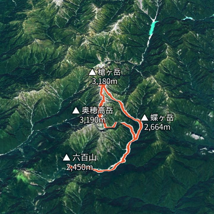 Map: GSI Japan, EOxCloudless 2025 (Copernicus Sentinel)
Yarigatake 3,180m
Daikiretto loop from Kamikochi (Kita-Hotaka to Yari)
From Kamikochi via Karasawa to Kita-Hotaka, over the Daikiretto notch to Minamidake and Yari, then down the Yarisawa valley to Kamikochi. The most exposed ridge in the range.
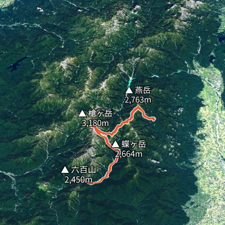 Map: GSI Japan, EOxCloudless 2025 (Copernicus Sentinel)
Yarigatake 3,180m
Omote-Ginza traverse (Nakabusa to Yari to Kamikochi)
The classic Northern Alps ridge line: up to Tsubakuro-dake, along to Daitenjo, the Higashi-Kama ridge to Yarigatake, then down the Yarisawa valley to Kamikochi.
Huts to stay at
- Tokusawaen (徳澤園) Lodge / 1,560m
- Yokoo Sanso (横尾山荘) Mountain hut / 1,620m
- Yarisawa Lodge (槍沢ロッヂ) Mountain hut
- Sessho-goya (殺生小屋) Mountain hut
- Yarigatake Sanso (槍ヶ岳山荘) Mountain hut
- Karasawa Hutte (涸沢ヒュッテ) Mountain hut
- Karasawa-goya (涸沢小屋) Mountain hut / 2,350m
- Kitahotaka-goya (北穂高小屋) Mountain hut / 3,100m
- Minamidake-goya (南岳小屋) Mountain hut
- Enzanso (燕山荘) Mountain hut / 2,712m
- Daitenso (大天荘) Mountain hut / 2,870m
- Otensho Hutte (大天井ヒュッテ) Mountain hut
- Hutte Nishidake (ヒュッテ西岳) Mountain hut / 2,680m
- Hutte Oyari (ヒュッテ大槍) Mountain hut / 2,884m
Each route page gives the sources for times and grades.